Britain faces a miserable start to the weekend with a yellow warning issued for rain until Friday evening – before temperatures are expected to nosedive, the Met Office has said.
Heavy downpours, together with strong winds, are set to batter most of England and all of Wales until 8pm tonight, while blustery showers are also predicted across parts of Scotland, with motorists urged to take extra care while driving due to a build-up of surface water on the roads.
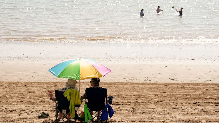
The wet weather will bring “incredibly mild” temperatures in the high teens.
Check your local weather forecast here
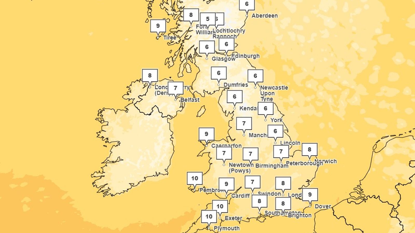
But on Saturday, cold, northerly Arctic winds will see many places plunge 10C lower than they were last weekend, when “unseasonably warm air” saw temperatures soar to the mid-20s.
Gusts in excess of 60mph in Scotland will see temperatures struggle into single figures, said Met Office meteorologist Alex Burkill, while southern areas of the UK will enjoy the best conditions, with highs of 14C expected.
Widespread scattered showers across the nation will eventually give way to sunny spells.
Many places will have a “fine and settled day” on Sunday with “plenty of sunshine”, Mr Burkill said.
Sky News weather producer, Joanna Robinson, said it will be noticeably colder than recently, with strong winds across the North and East and snow possible on the Scottish hills – although that is not unusual at this time of year.
She said: “Expect a fairly widespread ground frost on Saturday night, with a rural air frost in places.
“Sunday will be similar, but with fewer showers around.”
Read more:
Why was September so hot?
September temperature data baffles scientists
Kirsty McCabe explains the September heatwave
However, clear skies mean the mercury is likely to descend even further on Sunday.
“Despite the sunshine, temperatures aren’t going to rise particularly high. In fact, for some of us they could be a little bit lower than Saturday,” Mr Burkill added.
“In the south, you’re looking at highs of 12C or 13C and some places in the north are likely to stay in single figures.”
But Monday morning will bring a rude awakening for the new week.
The meteorologist added: “First thing Monday morning, you will really notice it – you may need to scrape your windscreen on your cars because it is going to be a chilly, perhaps even frosty start.”